North from the Plank Road Bridge
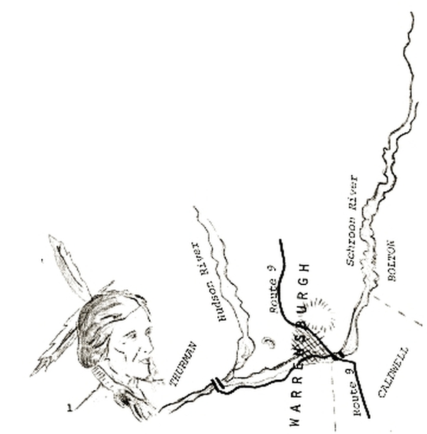
Warrensburgh, Warren County, Noew York, is situated on the east bank of the Hudson River, an approximate sixty-eight square miles of territory, extending north and south. The Schroon River forms a natural boundary on the north and was referred to by the Indians as the crooked river, gain-bou-a-give, as it flows southerly for some distance, than takes an abrupt turn westerly, emptying into the Hudson River at the Thurman Bridge, three miles west of the village. The Indian word for this confluence of the Schroon and the Hudson was Teohoken.
